
Aerial Drone Solutions
Elevateeveryperspective.
Aviate 360 captures detailed aerial imagery and accurate data with advanced drone technology — helping businesses, organisations and asset owners make informed decisions safely, efficiently and cost-effectively. No expensive access equipment. No unnecessary disruption. Just clear, actionable results you can trust.
Professionals with international experience
Based in Scotland. Operating worldwide.
Over a decade of extensive experience in the UAS industry — first-hand knowledge, delivered safely.
At Aviate 360, we have over a decade of extensive experience in the UAS industry. Based in Scotland, our team have the first-hand knowledge and skills to carry out complex operations throughout the UK, Europe, Asia and the US. Our operational staff have worked in critical sectors including Oil & Gas, Energy, Power Transmission, Renewables and Major Infrastructure.
We are committed to providing safe, reliable and innovative drone solutions. The Aviate 360 team has built and led high-performing teams of pilots, developed training programmes, and integrated new platforms into operations — bringing the highest safety and regulatory standards to every flight.
- 10+
- Years in UAS operations
- 650+
- Hours flown
- 3,500+
- Flight missions
- 5+
- Critical sectors served
What we capture
From close visual inspection to survey-grade mapping — one operator, the full data set.
- GVI & CVI Inspections General and close visual inspections that identify defects early — no scaffold, no shutdown, no risk to personnel.
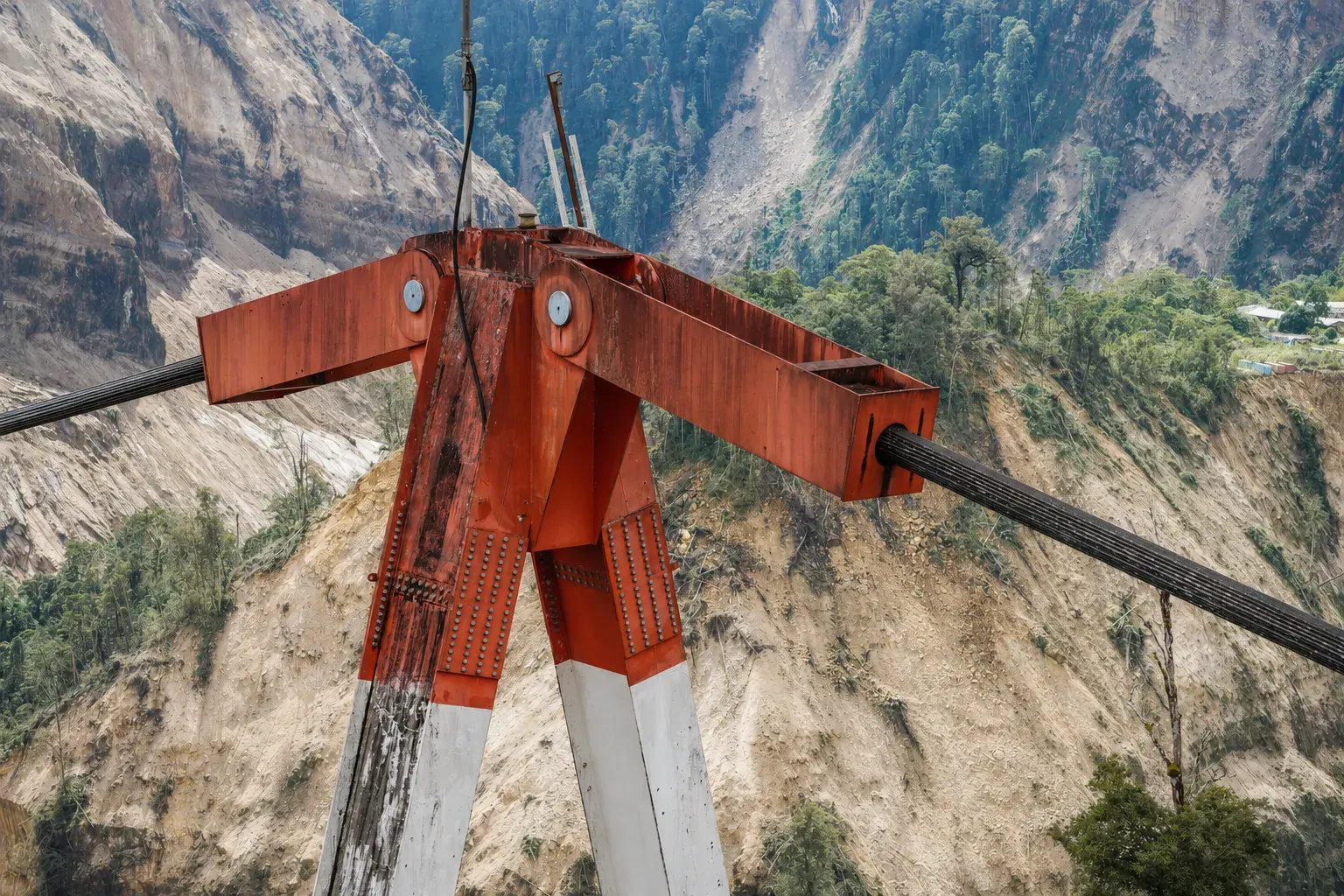
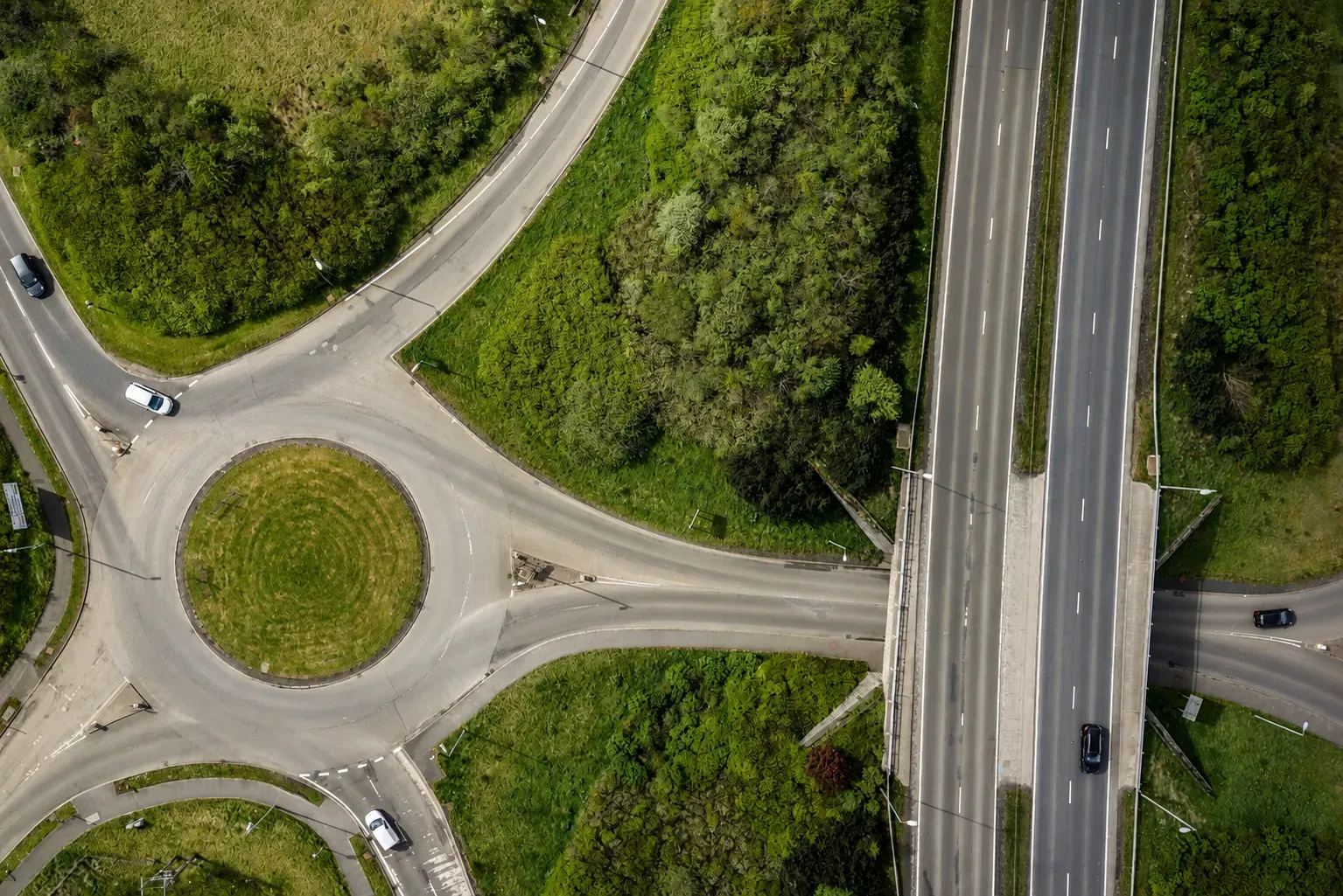
- Infrastructure Inspections High-resolution capture of bridges, viaducts and roads for accurate condition assessment and reporting.
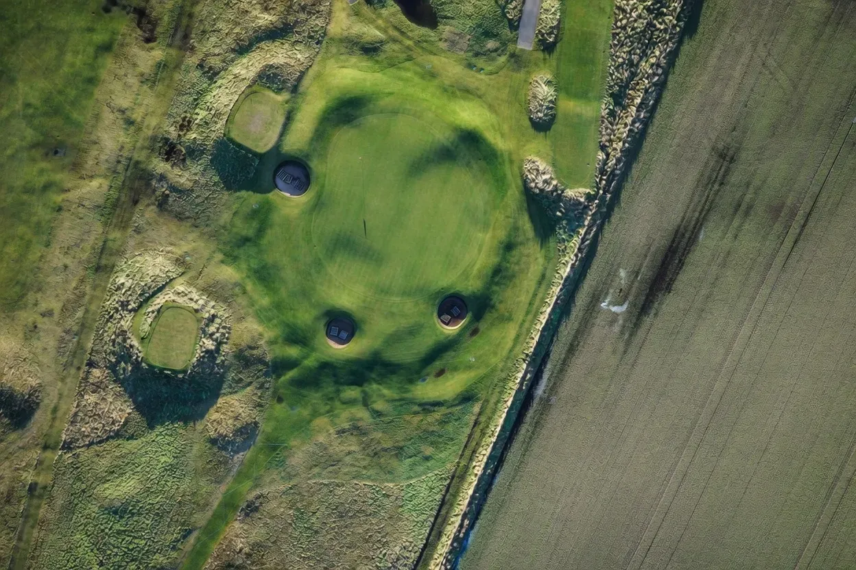
- Orthophotos Geometrically corrected, measurable aerial maps stitched from hundreds, sometimes thousands, of overlapping frames.
- Aerial Imagery, Video & Spherical Data Cinematic stills, 4K video and immersive 360° spherical data sets for marketing, records and analysis.
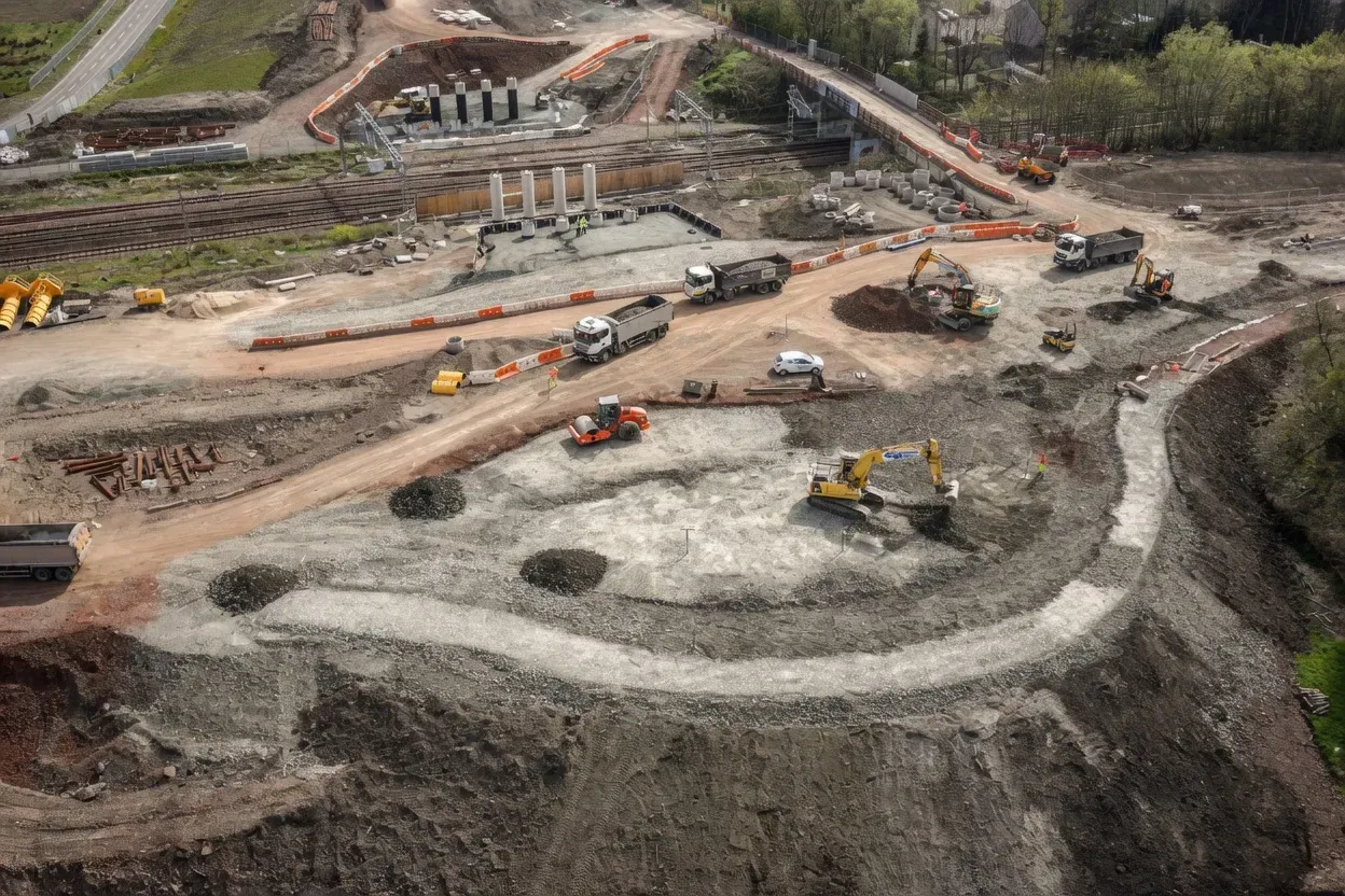
- Construction Progress & Monitoring Repeatable flight paths that document build progress week on week, from groundworks to handover.
- Overhead Line Inspections Close inspection of conductors, insulators and towers across transmission and distribution networks.
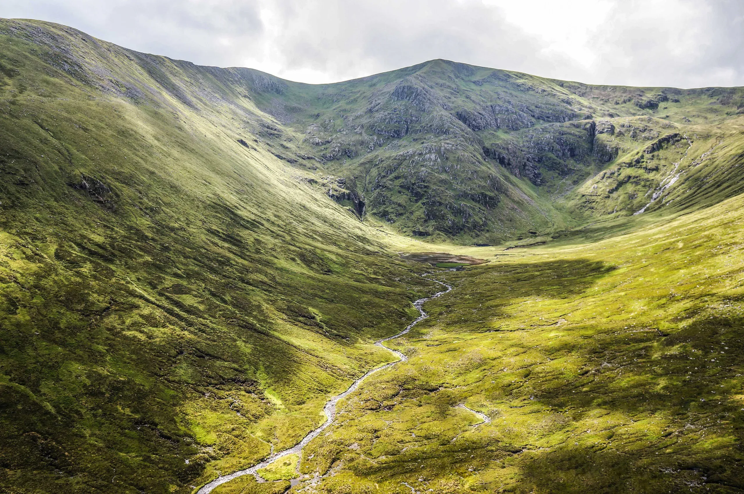
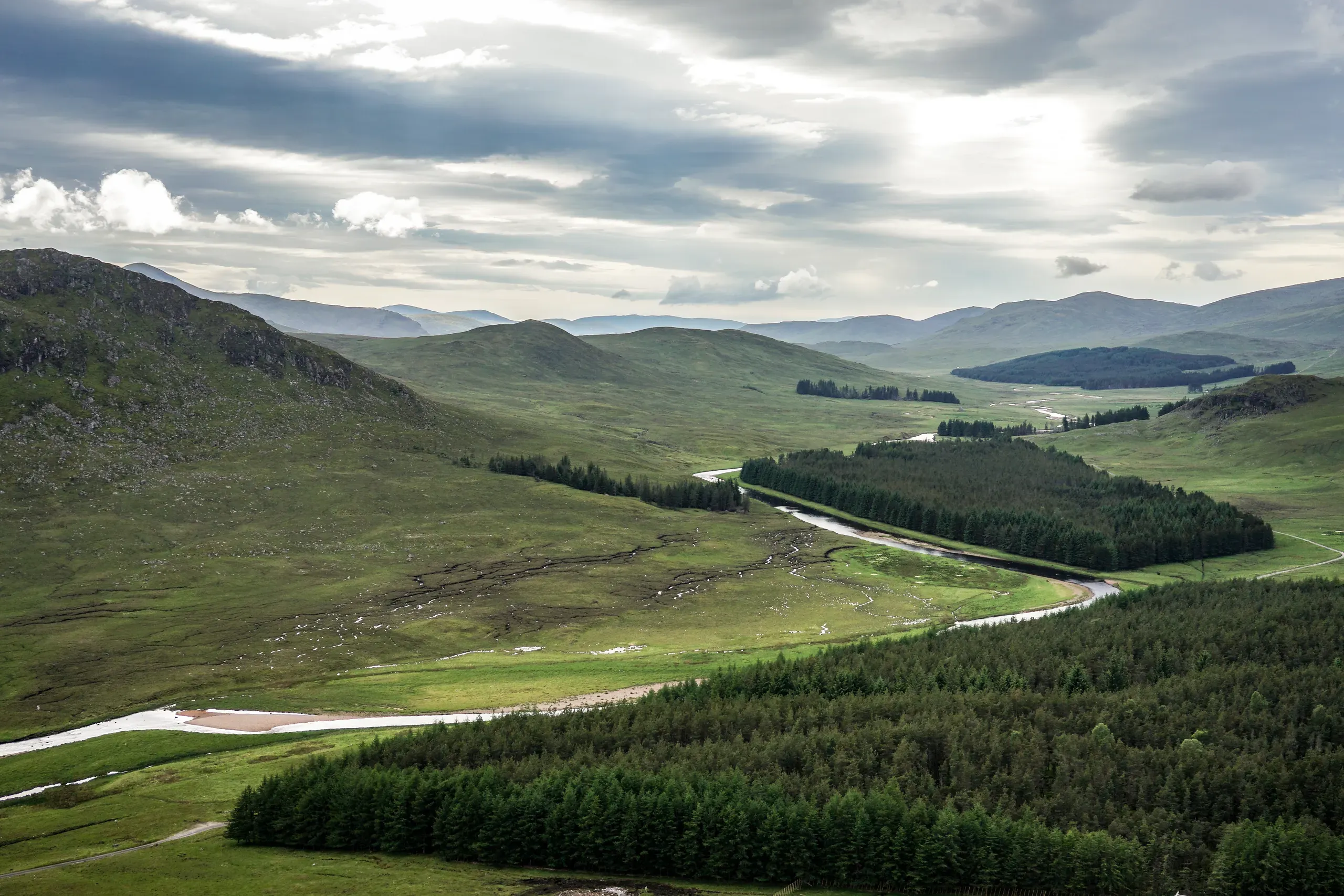
- Forestry & Land Management Canopy, health and boundary surveys for woodland, estates and land management planning.

Where we operate
Trusted in critical sectors where access is difficult and accuracy is non-negotiable.
- 01
Construction
- 02
Land Surveying
- 03
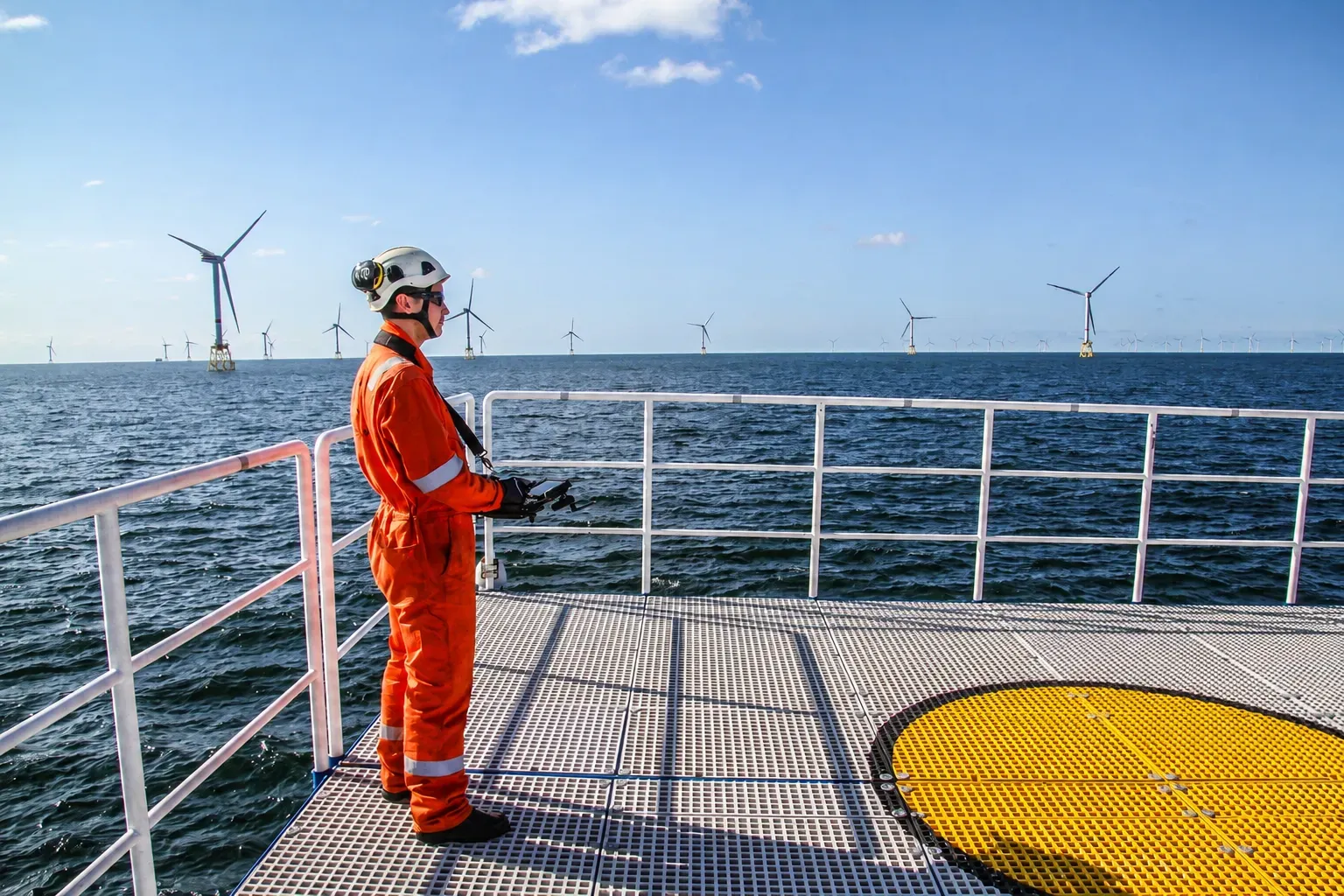
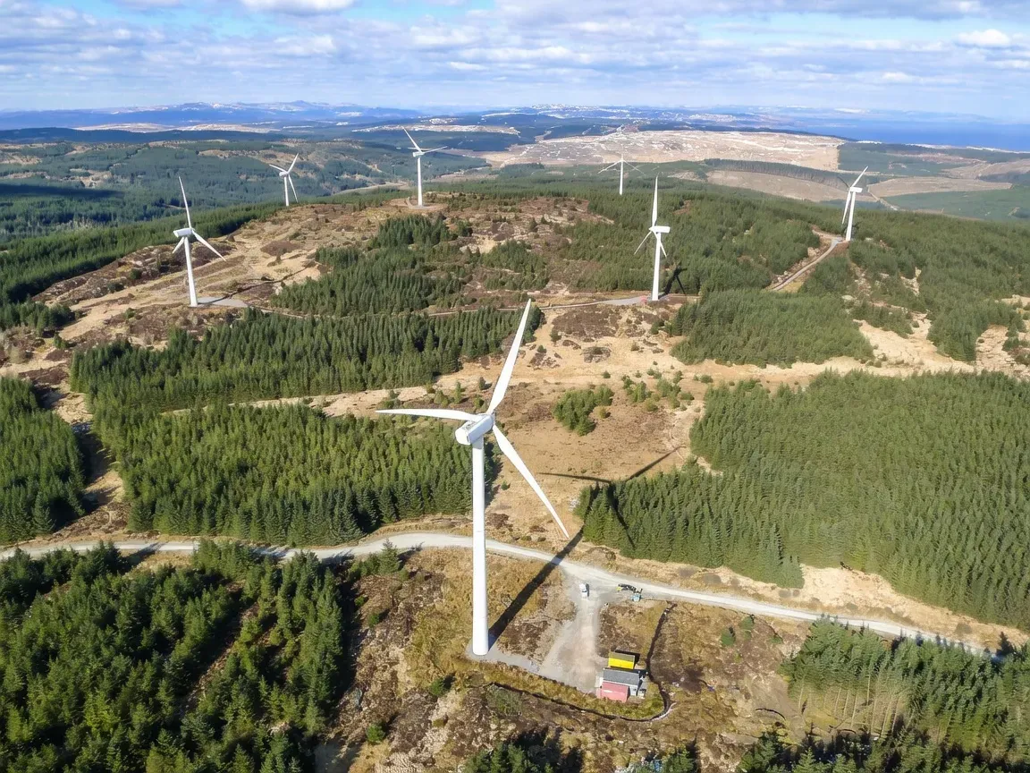
Renewables
- 04
Transmission & Distribution
- 05
Forestry
- 06
Oil & Gas
Request a quote
Tell us about the site or asset you need captured and we’ll come back with a quote. Prefer to talk? Call, email or message on WhatsApp.